
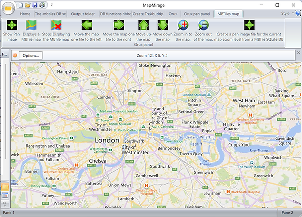
MapMirage can be used to display Trekbuddy and Mbtiles maps. This is Windows 10/11 32bit release of MapMirage. It can export a set of map tiles from a .mbtiles file as a Trekbuddy atlas. The basic functionality of the program is complete. The extra things that you get with this sort of Visual Studio app such as the Folder and Calendar column don't do anything. The standard buttons like Save and Print are also not configured . If you have a .mbtiles file containing map tiles that are not in 256 pixel by 256 pixel in size they will be exported but with 256 pixel filenames. The map tiles in the .mbtiles file must be in the tiles table. The latest format for MBtiles is vector tiles. MapMirage is intended to be used with earlier versions of MBtiles that contain map tiles in jpg or png format.
Maperitive can export OpenStreetMap maps as a _mbtiles file. You can then convert that with my MapMirage program into a Trekbuddy atlas My MapMirage program is here _ The Maperitive program is on the authers web site here. Maperitive produces very good quality sharp tiles and makes nice maps. It does not require Java. It's only needs Windows dotnet 4 or later to be able to run. It's slow to zoom but you can get around that by using command line text commmands inside the program Maperitive can generate _mbtiles files from the web, a local OSM XML file or a local GPX file. Some example command line text commmands are Reposition the map move-pos x=-l y=52 Export a map area to a _mbtiles file: generate-mbtiles minzoom=5 maxzoom=16 Change the map zoom zoom-map-scale 50000 Full instructions for using the generate-mbtiles command are on the authers web site here. The quickest way to generate an _mbtiles atlas is to dcvwnload the area you want using the OpenStreetMap_Qyerpass API In Maperitive use the load-source command to load the downloaded _ osm file. e.g. load-source "C: Oxford_osm" and then generate the _mbriles file with a generate-mbtiles command.
Using Mobile Atlas Creator to create an atlas. The Mobile Atlas Creator website: Mobile Atlas Creator Mobile Atlas Creator can download map atlases from several websites. The ones you are likely to be interested in are OpenStreetMap MapQuest and OpenStreetMap 4UMaps.eu . The MapQuest maps are best for road maps. The 4UMaps.eu maps have contours and are better if you are interested in terrain. The downloaded atlases may contain many map tiles. Large maps might exceed the number of files allowed in a folder on FAT32 drives so it's best to download onto a NTFS formatted drive. As a Java program Mobile Atlas Creator requires Java Runtime Environment Version 6 Update 14 (v 1.6.0 14) or higher installed on your computer. It's a good idea to read wiki.openstreetmap's Tile Usage Policy. before downloading too many map tiles.